Rfp
Bounded by Las Vegas Boulevard (west), Interstate 11 (north), alley between 7th & 8th Street (east), and Stewart Avenue (south), Downtown Las Vegas, NV
5/ 5
Prime signal
Bedrock impact score
Action type
Rfp
Asset class
Multi-asset · site-wide
Status
On municipal record
Filed
2026-07-28
Jurisdiction
Las Vegas, NV
Days on record
32 days
 Approx — jurisdiction center
01Investment highlights
Why this deal matters
- Rfp in Las Vegas, NV
- Bedrock impact score 5 of 5 — Prime signal
- This is a rare ~11-acre publicly owned downtown Las Vegas site going to open solicitation
- A direct invitation for developers to compete for a major entitled redevelopment opportunity with city backing.
- On the municipal record 32 days (filed 2026-07-28)
02Deal summary
The rationale
This is a rare ~11-acre publicly owned downtown Las Vegas site going to open solicitation — a direct invitation for developers to compete for a major entitled redevelopment opportunity with city backing.
The Las Vegas Redevelopment Agency is preparing to issue an RFP for the redevelopment of approximately 11 acres of City- and Agency-owned property in downtown Las Vegas, bounded by Las Vegas Boulevard, I-11, the 7th/8th Street alley, and Stewart Avenue (Ward 5).
03Deal facts
The filing record
- Jurisdiction
- Las Vegas, NV
- Action type
- Rfp
- Asset class
- Multi-asset · site-wide
- Applicant
- City of Las Vegas / Las Vegas Redevelopment Agency
- Status
- On municipal record
- Filed
- 2026-07-28
- Days on record
- 32 days
04Location
Where this sits
Bounded by Las Vegas Boulevard (west), Interstate 11 (north), alley between 7th & 8th Street (east), and Stewart Avenue (south), Downtown Las Vegas, NV
36.23350, -115.26400 · approximate (jurisdiction center)
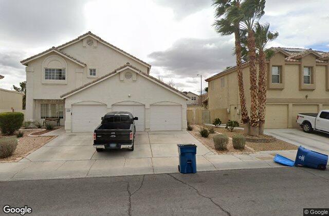
Street view
At street level
Area demographics
Clark County
2,228,866
Population
$61,048
Median HH income
809,026
Households
$1,023
Median rent
U.S. Census · ACS 5-year
Nearby amenities
Within ~1 mile
6 Transit
17 Schools
20 Dining
1 Grocery
2 Banks
3 Parks
Points of interest · Google Places
05Record timeline
Filing to current status
- Filed with jurisdiction2026-07-2832 days on record
- Scored by BedrockRelevance 5 / 5Automated land-use signal
Similar properties
More in Las Vegas, NV
5Plan amendmentBounded by Owens Avenue (N), Nellis Boulevard (E), Charleston Boulevard (S), 21st Street (W), Las Vegas, NV5RezoningTerminus of Centennial Parkway, west of Clark County 215, Las Vegas, NV5Plan amendmentWest of the intersection of Alta Drive and Park Drift Trail, Las Vegas, NV5Plan amendmentBounded by Owens Avenue (N), Nellis Boulevard (E), Charleston Boulevard (S), and 21st Street (W), Las Vegas, NV